Scan the seabed with Lidar lasers from a plane - faster and more accurate than other methods
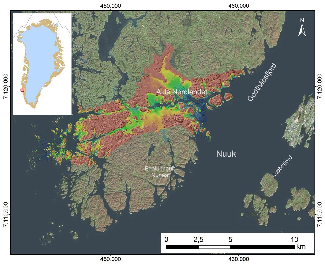
Point cloud / DTM of seabed or landscape for further development.
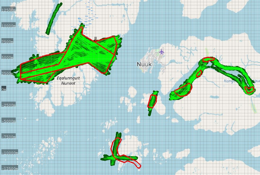
Near-shore naval charts according to needs, combining lidar(shallow 15 mtrs) and multibeam (deep)
Precise up til 200 meters depth
Get scanning with Lidar laser up to 200 meters depth opens a great
opportunities for geology and other purpoces
Accurate up til 2 inches
Hight resolution of a images with accurate up til 2 inches will provide results that can be used for any technical goals
10 timers faster than ships
Save your time and get all necessary results with Lidar laser 10 times faster that ship
Get started with Lidar arial seabed scanning
Mobilization
Logistics
Ground reference stations
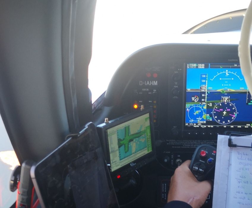
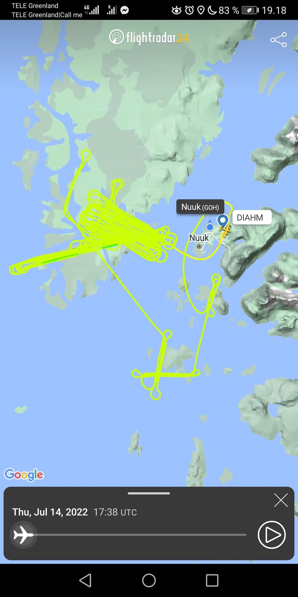
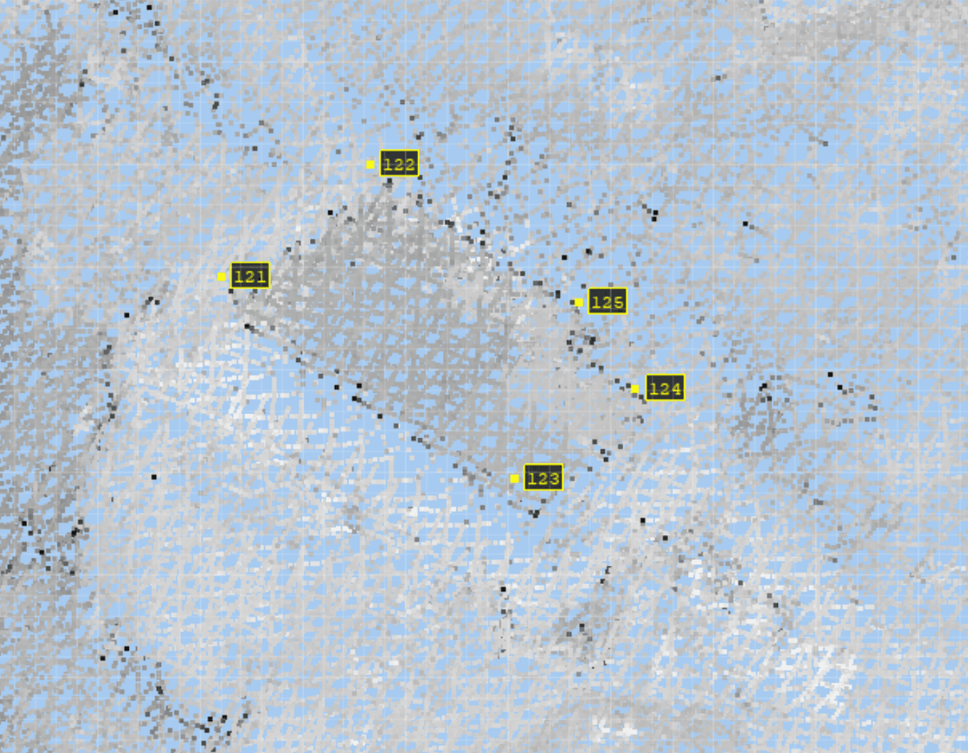
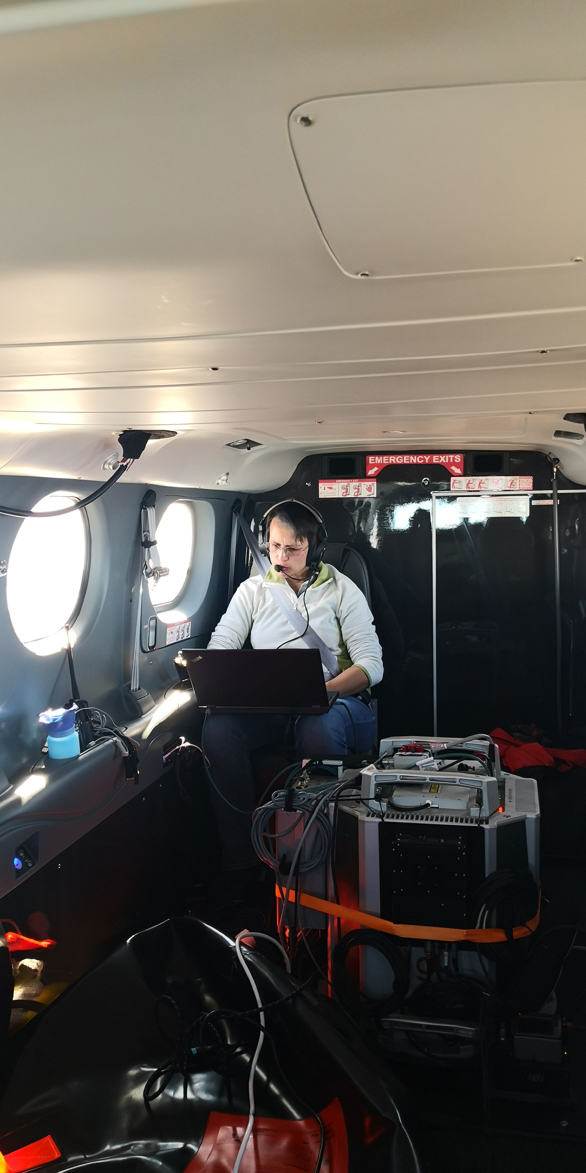
Airborne data capture
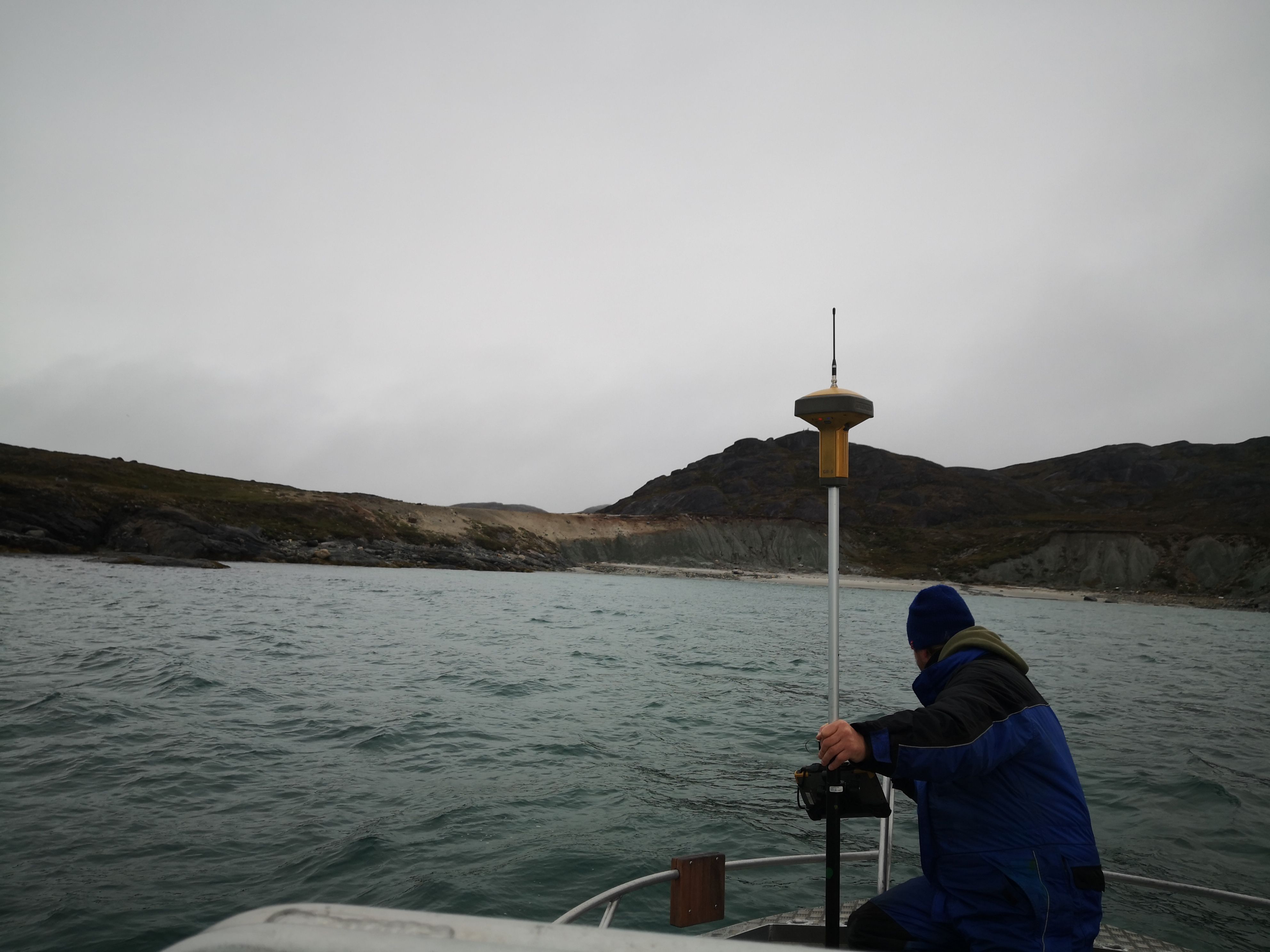
Maritime data capture
Data-control
Data analysis
Mapping services
About us
Point cloud / DTM of seabed or landscape for further development.
Near-shore naval charts according to needs, combining lidar(shallow 15 mtrs) and multibeam (deep)
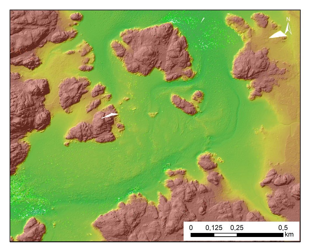
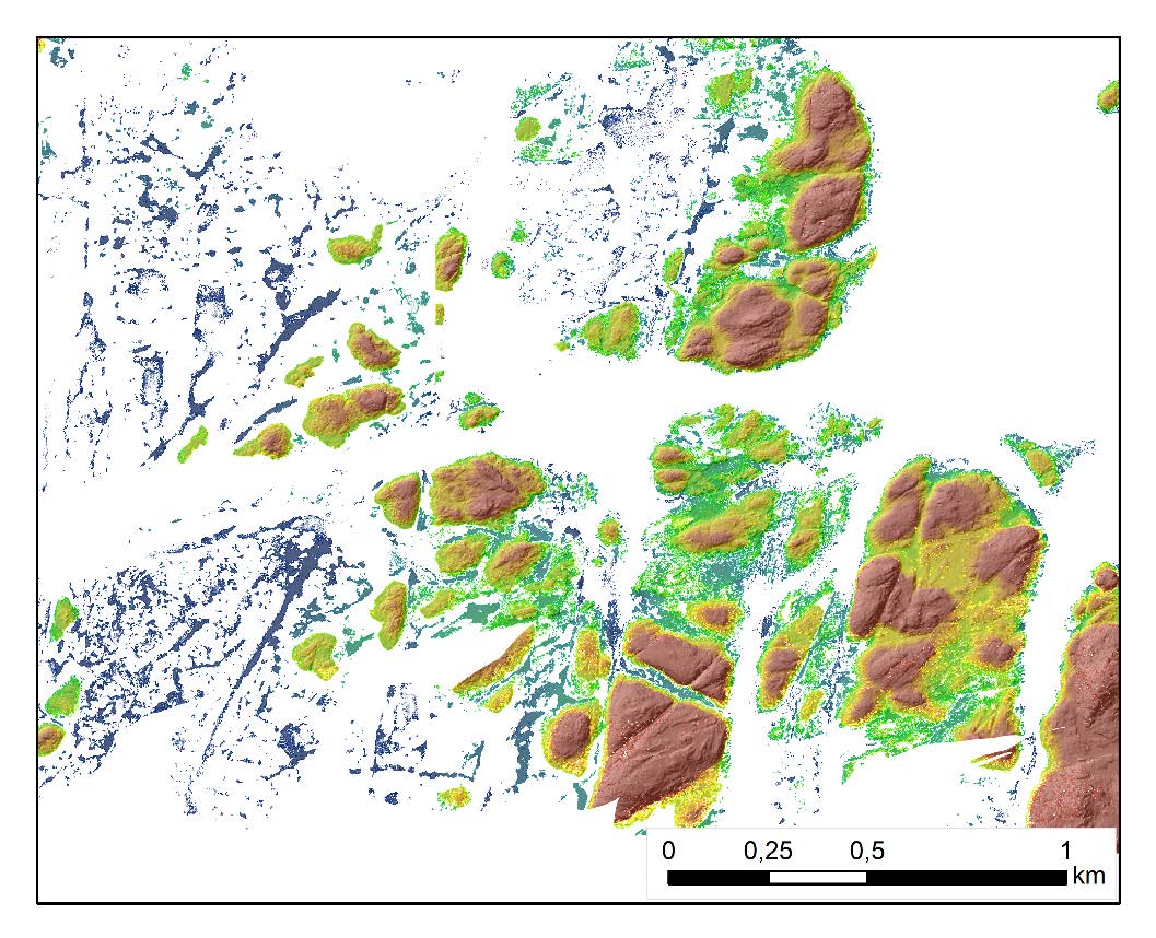
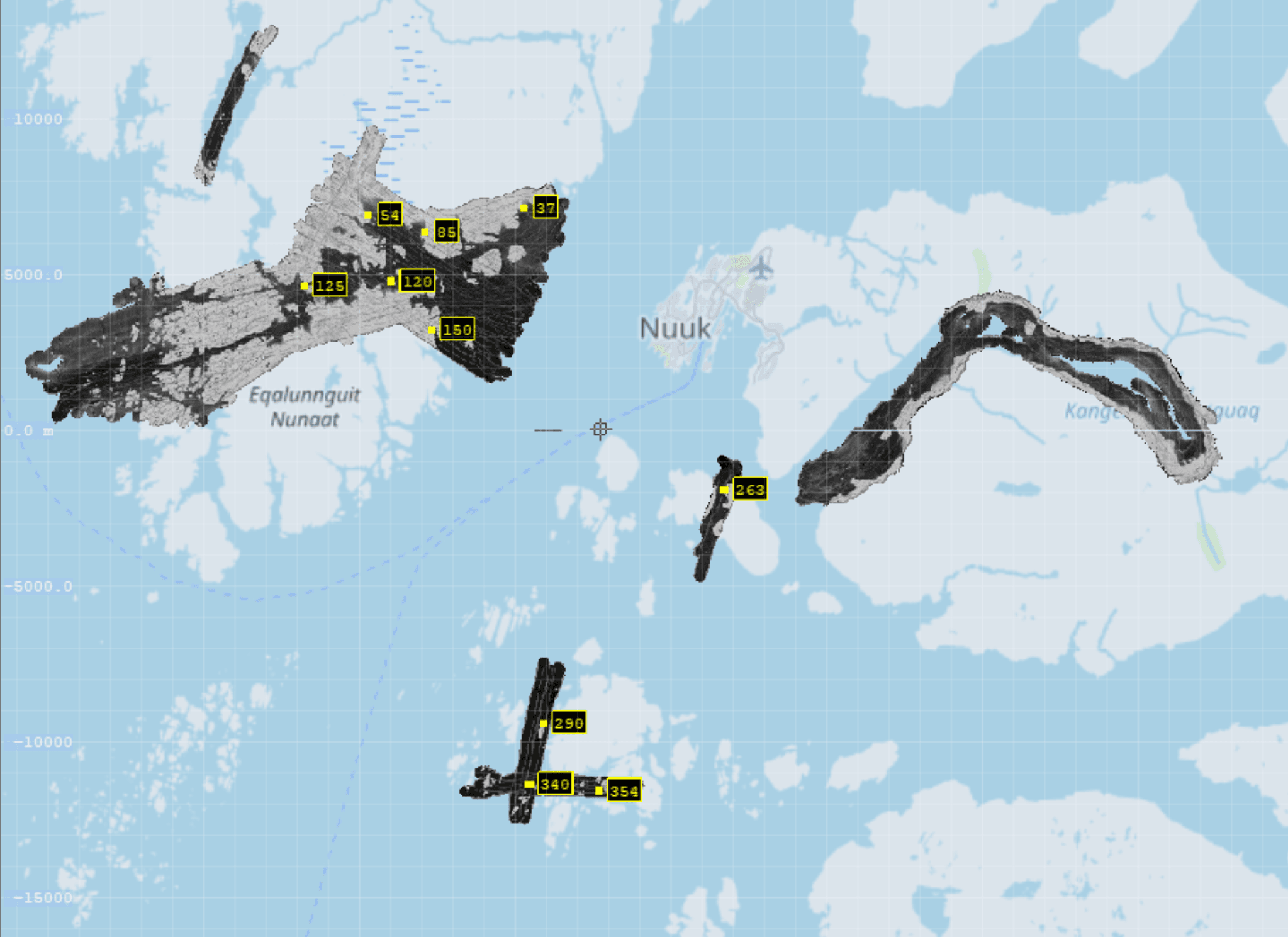
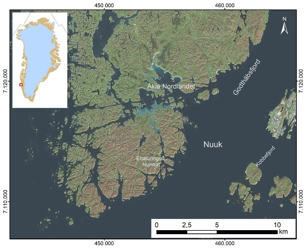
Topo-bathymetric lidar in Greenland
Total package or individual elements comprising:
- Mobilization
- Logistics
- Ground reference stations
- Airborne data capture
- Maritime data capture
- Data-control
- Data analysis
- Mapping services
Contact Us
Got a technical issue?
Want to send feedback about a beta feature? Let us know.
+299 49 76 39